
The state of transit in 2026
Public transportation in 2026 is a mixed bag. While many systems are still recovering from pandemic-era ridership declines, there’s a clear, growing investment in modernization and expansion. The US Department of Transportation continues to prioritize projects aimed at improving service, increasing accessibility, and reducing emissions – you can find details on funding allocations in their document library (transportation.gov). This isn’t just about big cities, either; smaller towns are experimenting with innovative solutions.
One significant trend is the rise of microtransit – on-demand shuttle services that fill gaps in traditional bus and train networks. These services, often booked through apps, are proving popular in areas with low population density or limited fixed-route options. We’re also seeing more integration between different modes of transportation, with apps that allow you to plan trips combining buses, trains, bikes, and scooters. The quality of public transit still varies dramatically depending on your location, but the tools to navigate it are getting better.
Even the best software can't fix a broken subway line. But if you're living without a car, these tools make a difficult system manageable. I've found they often reveal shortcuts or bus connections that aren't obvious on a standard map.
Seven apps to install first
Citymapper is the most reliable choice for big cities. It handles the transition between walking, cycling, and trains better than most. It is free on iOS and Android, though the ad-supported interface is cluttered and the offline maps update slowly.
Transit is another strong contender, known for its clean interface and real-time arrival predictions. It also integrates with ride-hailing services, allowing you to compare the cost and time of different transportation options. Transit is available on both iOS and Android, and also provides offline access to schedules. They’ve been steadily improving their accessibility features, making it a good choice for users with disabilities.
Don’t overlook Google Maps. While often thought of as a driving app, its transit features are surprisingly robust, especially in cities with well-maintained transit data. Google Maps benefits from the massive user base contributing real-time traffic and incident reports, which can impact transit times. It's available on all platforms – iOS, Android, and web – and integrates seamlessly with other Google services.
Moovit is a solid option, particularly strong in international cities. It offers a community-based approach, allowing users to report delays and other issues. This crowdsourced data can be valuable, but also means accuracy can vary. Moovit is free and available on iOS and Android. Swiftly is a bit different; it’s focused on providing real-time information for bus networks, often pulling data directly from transit agencies. It’s particularly useful in cities with complex bus systems.
Remix is a bit of an insider’s pick. It’s primarily a tool for transit agencies to plan and manage their services, but it also provides a public-facing interface that can be helpful for understanding service changes and future plans. It isn’t a trip planning app in the traditional sense, but it can give you valuable insight into how your local transit system operates. Remix is available as a web app. Finally, Transitland is a data aggregator. It doesn’t have a user-facing app, but API access allows developers to build their own transit tools and integrations.
Pricing for most of these apps is free, supported by advertising or data licensing. Some offer premium subscriptions to remove ads or unlock additional features, but the core functionality is generally available to all users. The key is to experiment and find the app that best suits your needs and the transit systems in the cities you frequent.
Essential Tech for Seamless Car-Free Commutes in 2026

10,000mAh capacity · PowerIQ charging technology · Compact and travel-ready design
This Anker PowerCore 10K ensures your devices stay charged on the go, a crucial element for digital nomads relying on public transport.

Easy One Touch mounting system · Adjustable telescopic arm and 360-degree rotation · Strong suction cup base for dashboard or windshield
The iOttie Easy One Touch car mount provides a secure and convenient way to access your phone for navigation or entertainment during your commute.

World-class noise cancellation · Comfortable over-ear design · Up to 24 hours of battery life
Bose QuietComfort 45 headphones create a peaceful environment on noisy public transit, allowing for focused work or relaxation.

15W Qi2 wireless charging · 5000mAh capacity · Built-in pop-up kickstand
The Belkin Portable Charger offers convenient wireless charging and a kickstand, perfect for keeping your phone powered and accessible during long journeys.
As an Amazon Associate I earn from qualifying purchases. Prices may vary.
Scooters, bikes, and last-mile gaps
While apps like Citymapper and Transit are excellent for planning trips on traditional public transportation, a car-free lifestyle often requires more flexibility. That’s where specialized tools come in. Lime and Bird are leading providers of electric scooter rentals, available in many cities. These apps allow you to locate and unlock scooters using your smartphone, offering a convenient way to cover short distances. Be mindful of local regulations and safety guidelines when riding scooters.
Bike sharing programs, like Citi Bike in New York City and Capital Bikeshare in Washington D.C., are another great option. These apps allow you to rent bikes by the hour or day, providing a sustainable and healthy way to get around. Ride-hailing services like Uber and Lyft can be useful for last-mile connections or when public transit isn’t available. However, they should be considered a supplement to, not a replacement for, public transportation.
Even if you’re committed to a car-free lifestyle, you might occasionally need to find parking for a rental car. Apps like SpotHero and ParkMobile can help you locate and reserve parking spaces in advance, potentially saving you time and money. Finally, consider apps that combine multiple modes of transportation. TripGo, for example, allows you to plan trips combining public transit, biking, walking, and ride-hailing.
Real-Time Alerts & Service Changes
One of the biggest frustrations of using public transit is dealing with unexpected delays and service changes. A good transit app will provide real-time alerts to keep you informed of disruptions. Citymapper and Transit are particularly strong in this area, integrating with transit agency alerts and offering push notifications. However, the accuracy of these alerts depends on the quality of data provided by the transit agency.
Follow your local agency on X or Mastodon. Most agencies post service cancellations there before they hit the apps. If the trains stop moving, the official agency website is still the only definitive source for when they'll start again.
Many agencies now offer SMS alerts as well. Check their website for details on how to sign up. Being proactive about staying informed can save you a lot of time and stress.
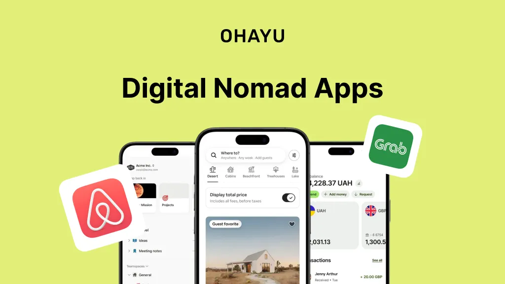
Offline Access: A Digital Nomad's Lifeline
Reliable internet access isn’t always guaranteed, especially for digital nomads traveling in remote areas. That’s why offline access is a critical feature for transit apps. Citymapper allows you to download maps and schedules for offline use, but the data can become outdated quickly. Transit also offers offline access, but the functionality is limited.
Google Maps allows you to download areas for offline use, including transit maps and schedules. However, real-time arrival predictions won’t be available offline. The key is to download the necessary maps and schedules before you lose internet connectivity. Remember that offline data is static; it won’t reflect real-time delays or service changes. Always be prepared to adjust your plans if you encounter unexpected disruptions.
I’m not sure how much offline functionality will improve by 2026, but I anticipate better caching and more frequent data updates even without a constant connection.
Accessibility Features: Transit for Everyone
Accessibility features are essential for ensuring that public transit is accessible to everyone. Many transit apps are beginning to prioritize accessibility, but there’s still a lot of room for improvement. Transit has made significant strides in this area, offering screen reader compatibility and wheelchair-accessible route planning.
Look for apps that provide clear and accurate information about accessibility features on public transit systems, such as elevator availability and ramp access. Google Maps is also improving its accessibility features, providing detailed information about wheelchair accessibility in transit stations. It's important to note that the accuracy of this information depends on the transit agency providing it.
Voice navigation and support for different languages are also important accessibility features. Apps that allow you to customize the interface to your specific needs can be particularly helpful.
Apps Worth a Closer Look
While the "All-Stars’ listed earlier are excellent choices, a few other apps deserve a mention. Moovit has a particularly strong user base in some international cities, offering a wealth of crowdsourced information. It"s worth checking if Moovit has good coverage in the cities you plan to visit. OneBusAway is a regional app focused on the Puget Sound area of Washington State. It provides real-time arrival predictions for buses and other transit modes.
Trainline is specifically geared towards train travel in Europe, offering a convenient way to book tickets and track your journey. It's not a general-purpose transit app, but it's invaluable for anyone traveling extensively by train in Europe. These apps demonstrate the ongoing innovation in the transit app space, and it’s likely we’ll see even more specialized tools emerge in the coming years.
Regional and international alternatives
The future of transit apps is likely to be shaped by several key trends. Integration with autonomous vehicles is a possibility, although the timeline for widespread adoption remains uncertain. Personalized route recommendations based on user preferences – factoring in things like walking speed and preferred modes of transportation – will become more common. Seamless fare payment systems, allowing you to pay for all modes of transportation with a single app, are also on the horizon.
Open data and APIs will play a crucial role in driving innovation. The more transit agencies share their data, the more opportunities there will be for developers to create new and improved transit apps. We may also see greater use of artificial intelligence to predict delays and optimize routes. The goal is to create a truly integrated and user-friendly transportation experience, making it easier than ever to live a car-free lifestyle.

No comments yet. Be the first to share your thoughts!